
For Sale
Land Plot, Avlonas – Attica
Overview
Property ID: 20007012
- Land
Description
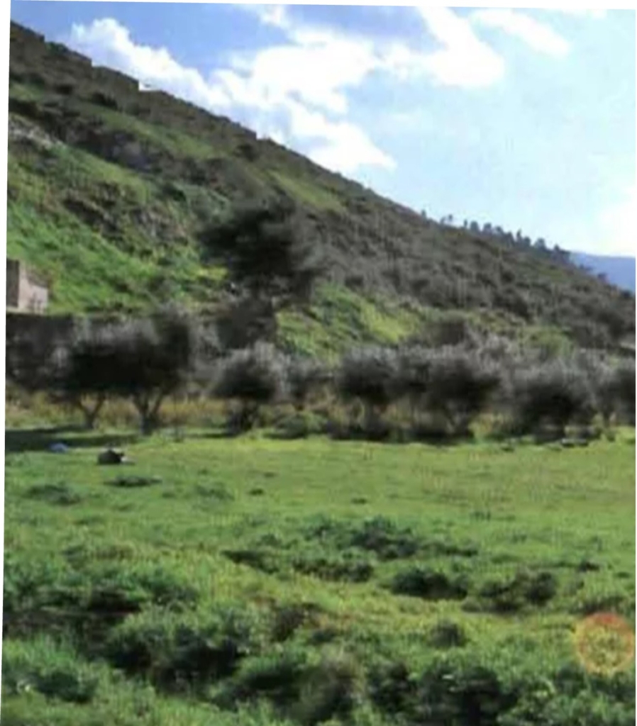
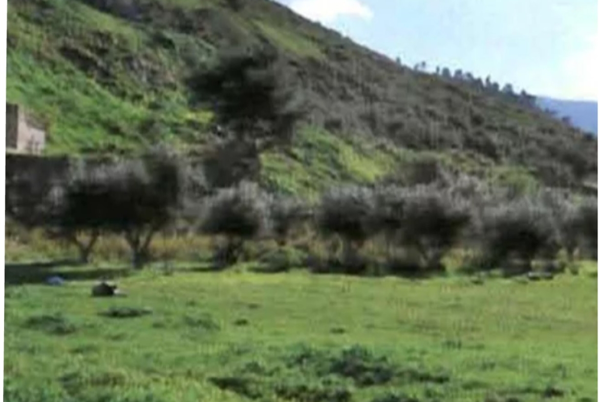
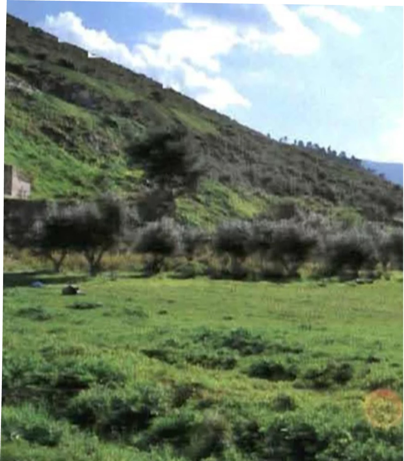
A non-amenable and non-buildable agricultural plot, with a total area of 6,752.63 sq.m., located at Katountontopi, in Avlona, Attica.
The property lies in a semi-flat, out-of-plan area, outside the General Urban Plan (G.U.P.), and within the Protection Zone of the Parnitha mountain range.
It is situated south–southwest of the Athens–Thessaloniki National Highway, at the level of the “Seirios” Service Area (S.A.E.), approximately 1.3 km east of the town, and at a distance of about 3.5 km, adjacent to a northern low mountainous area covered with shrub vegetation, where a former landfill site was once located.
The land use designation is agricultural, specifically farming/agricultural use (olive groves).
Address
- Address Τυφλό, Κατουντοντόπι, στον Δήμο Ωρωπού
- City Athens
- State/county Attica
- Zip/Postal Code 19011
- Country Greece
Details
Updated on January 21, 2026 at 8:31 am- Property ID: 20007012
- Price: 25.000€
- Land Area: 6752.63 sqm
- Property Type: Land
- Property Status: For Sale
- Map Link: https://maps.app.goo.gl/1wZeW8mHeqJFMAQC9
